‹ Înapoi
Geomarketing
Soluții geografice pentru decizii strategice
Date geografice exacte pentru optimizarea campaniilor și deciziilor comerciale
Serviciile de geomarketing oferă date geografice relevante, precum numărul și tipul gospodăriilor dintr-o zonă precisă sau distribuția clienților unei companii în diverse regiuni.
Aceste informații sunt necesare în realizarea strategiilor de comunicare în teren, în luarea deciziilor privind lansarea unui punct de interes comercial sau optimizarea activității logistice dintr-o anumită zonă.
Izocrone
Numărul de gospodării / locuitori din jurul unui punct de interes, aflat la maxim “x” minute de acces cu mașina sau pe jos
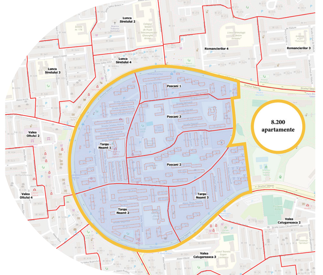
Gospodăriile din interiorul izocronelor pot fi împărțite pe tipuri de gospodării: blocuri, vile, case
Reprezentare pe hartă

Analiza densității de clienți dintr-o zonă
Scopul: optimizarea teritorială a publicității (distribuție de pliante, outdoor, hand-to-hand).
Se face conexiunea cu baza de date geografică
Pentru fiecare segment geografic (zone relativ omogene de 500 – 1.000 de gospodării) se calculează un procent de gospodării care sunt clienți
Reprezentarea zonelor pe hartă de tip „heat map” în funcție de densitatea target-ului
Analiza zonei de influență comercială
Analiza zonei de influență comercială include izocrone și permite suprapunerea cu date de segmentare relevante. Poate integra și locațiile magazinelor concurente, împreună cu izocronele acestora, pentru a identifica zonele de suprapunere și potențialul comercial al fiecărei arii.
Include izocrone
Datele rezultate se pot suprapune cu alte date de segmentare
Poate include și poziționarea magazinelor concurenților împreună cu izocronele acestora, precum și analiza arealelor de suprapunere
Este necesară o prelucrare prealabilă a bazei de date de clienți (recomandabil cu Date Curate)
Sursa informațiilor de localizare: Bază de Date Geografică


